I have reviewed the examples of Smart Map Control and Location View, but neither provides the information I need. How can I integrate a Smart Map into a user control on the smart client side to display data specific to certain cameras?
I noticed that the Location View uses the GMap library. Does this mean that to implement custom features, I must use the GMap library for displaying a map with cameras and specific custom data overlays, or can this be achieved using Smart Maps?
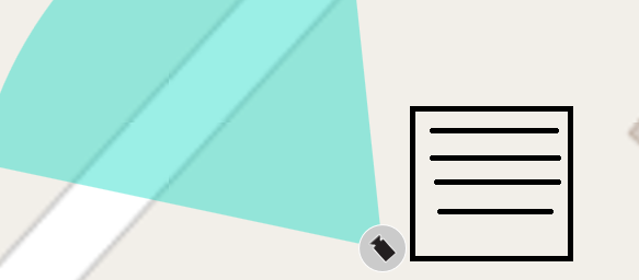
I’ve attached an example of what I want to achieve.
It is not possible to integrate a Smart Map into a user control.
The “Smart Map Control” sample shows how to control an existing Smart Map from your own plugin.
The “Location View” sample shows how you can build your own map, and it is completely separate from Smart Map. Regarding the GMap, this is just an external library used to show an example so, it is possible to use any libraries you prefer. The sample is more about reading metadata and using it.
Regarding your example on the question, we do not support plugins extending Smart Map in the way shown there. As a plugin, you can add items to the map and can populate a right click menu for the item you added.